
MPO Lane Departure Safety Projects
GRPC planners analyze crash data to identify locations where lane departure crashes are occurring at above average rates. These types of crashes are responsible for many fatalities in the Gulf Coast region. Lane departure crashes are the result of a vehicle leaving the travel lane and are recorded in crash data as a Run Off Road-Right, Run Off Road-Left, Run Off Road-Straight, or Head On. Lane departure crashes accounted for 39% of the roadway fatalities on the Gulf Coast from 2020 to 2023.
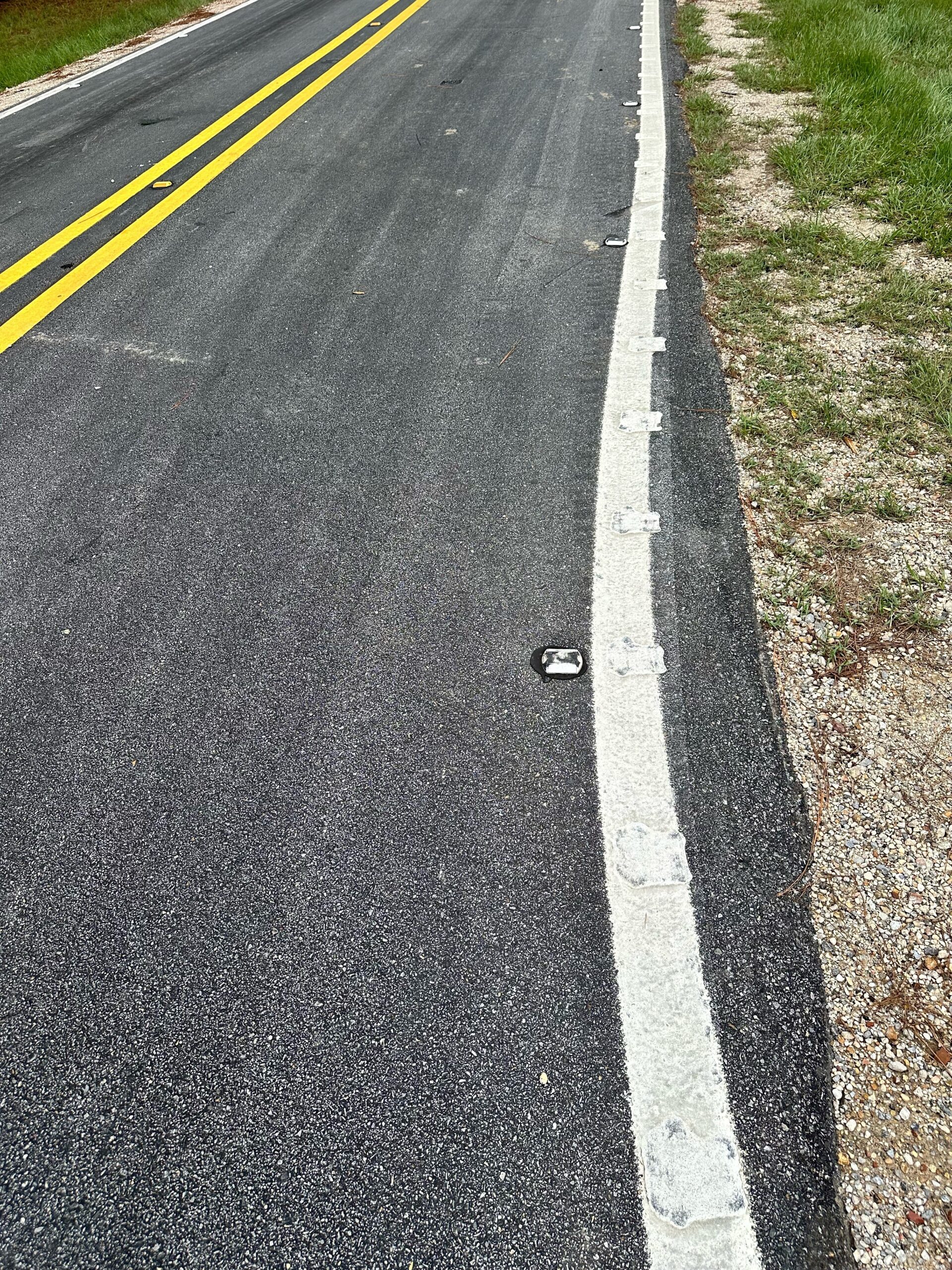
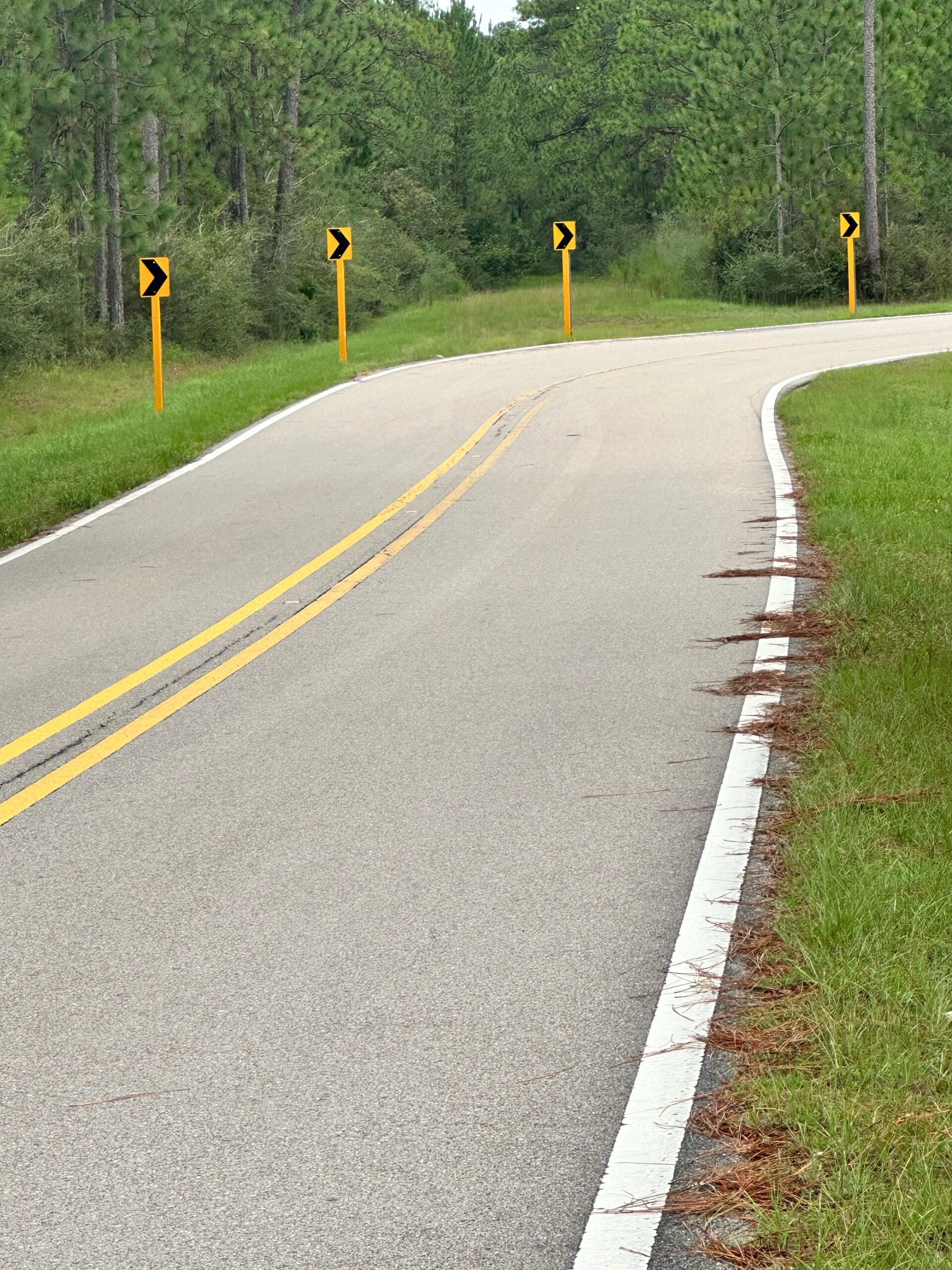
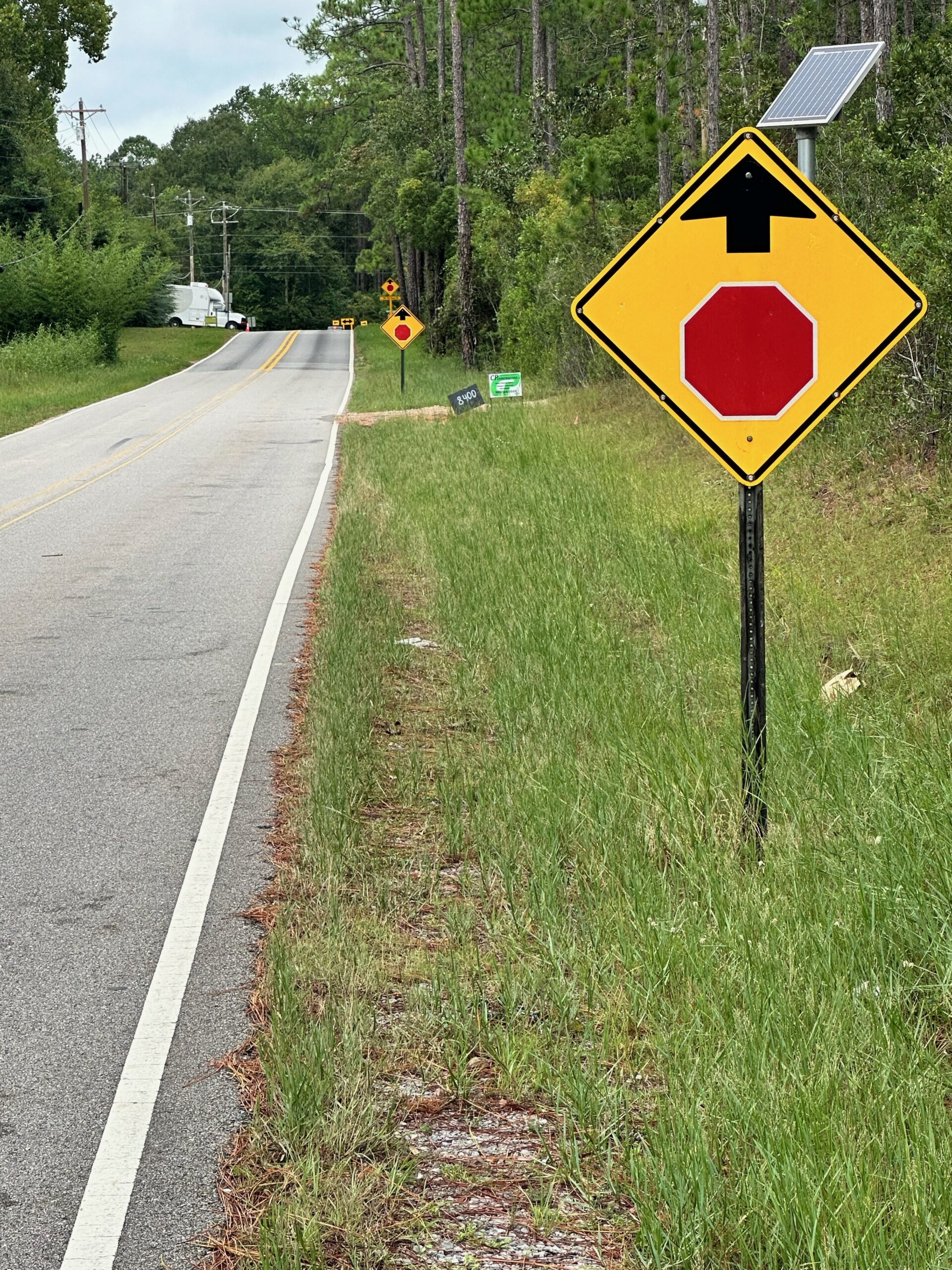
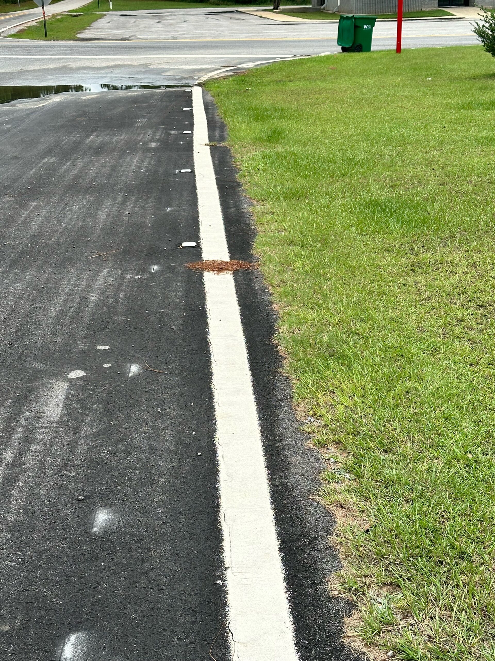
GRPC developed projects using measures such as refreshing pavement markings, install raised pavement markers, installing longitudinal rumble strips, and installing curve warning delineation at locations with high crash rates. GRPC worked with Federal Highway Administration to make these projects eligible for 100% federal funding. To date, GRPC has completed two phases of projects in Hancock, Harrison, and Jackson Counties.
Roadway Safety Awards Phase I and II Harrison County Jackson County and Hancock County
Lane Departures Final Report 9-2024 (Potential PH 3)

Harrison County
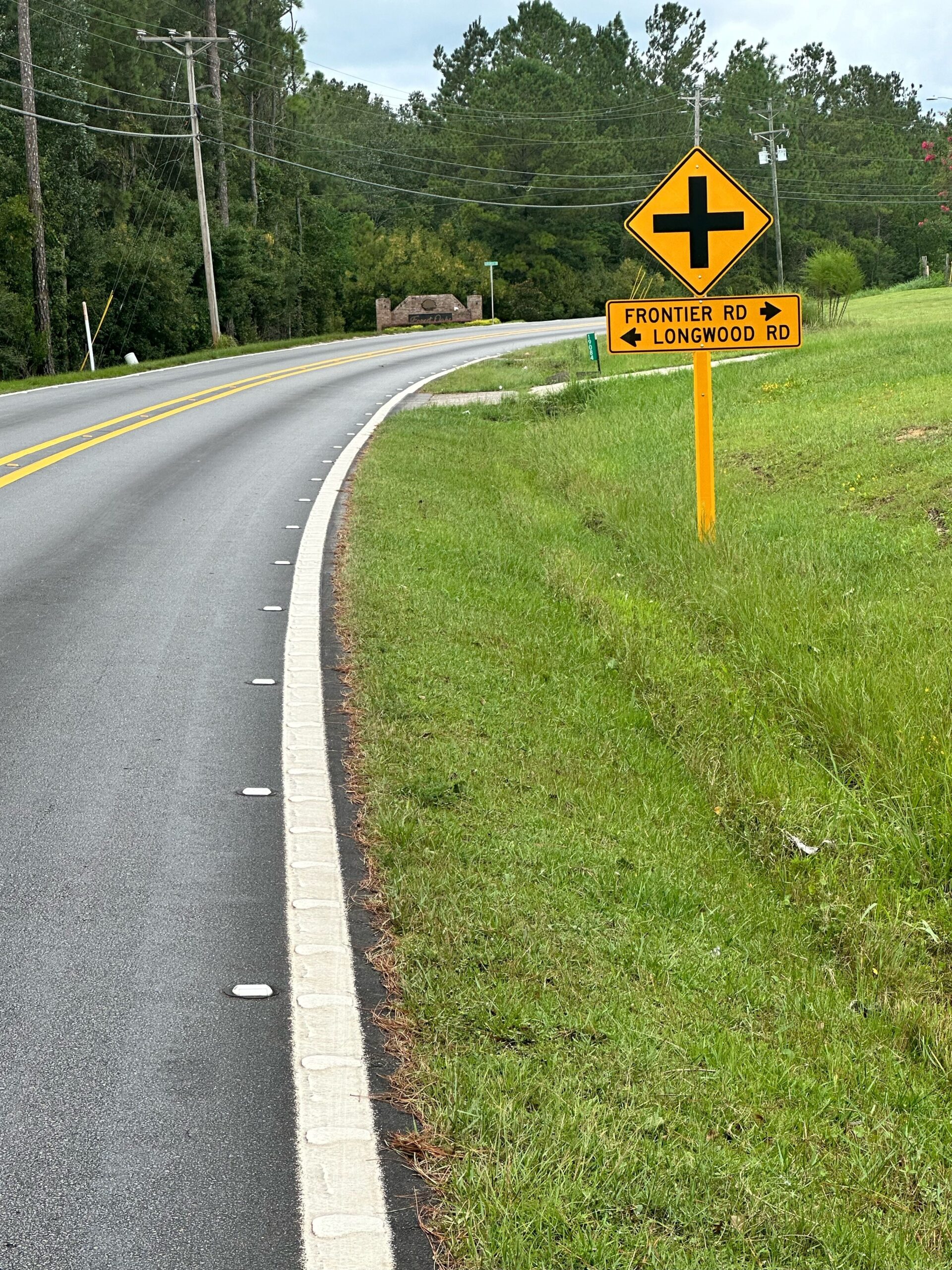
West Wortham Rd & Frontier Rd
Lamey Bridge Rd & White Plains Rd
Lamey Bridge Rd Corridor

Saucier-Lizanna Rd & McGhee Rd
Jackson County
Fort Bayou Rd & Humphrey Rd
Old Biloxi Rd & Larue Rd
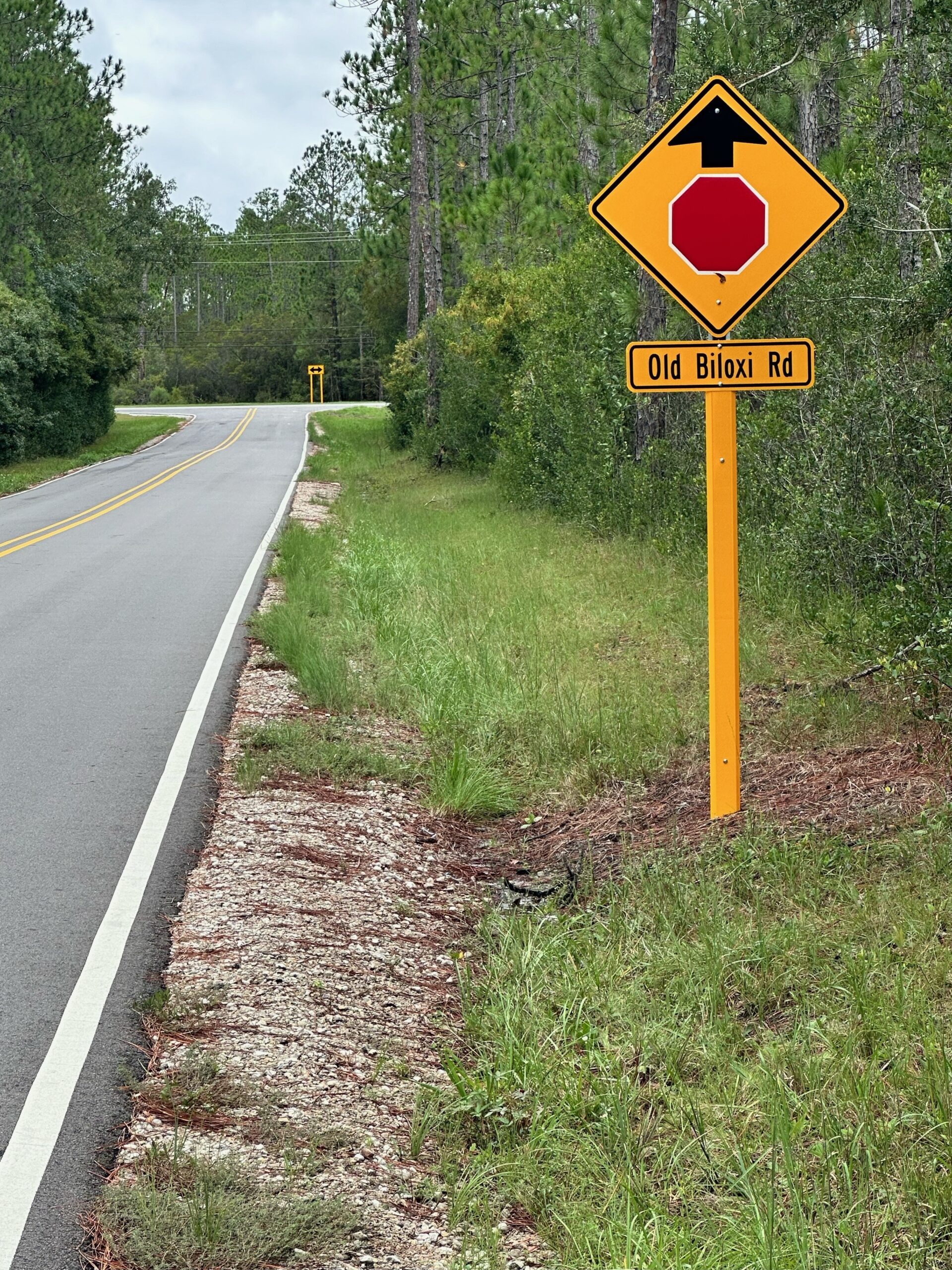
Old Biloxi Rd & Jim Ramsey Rd
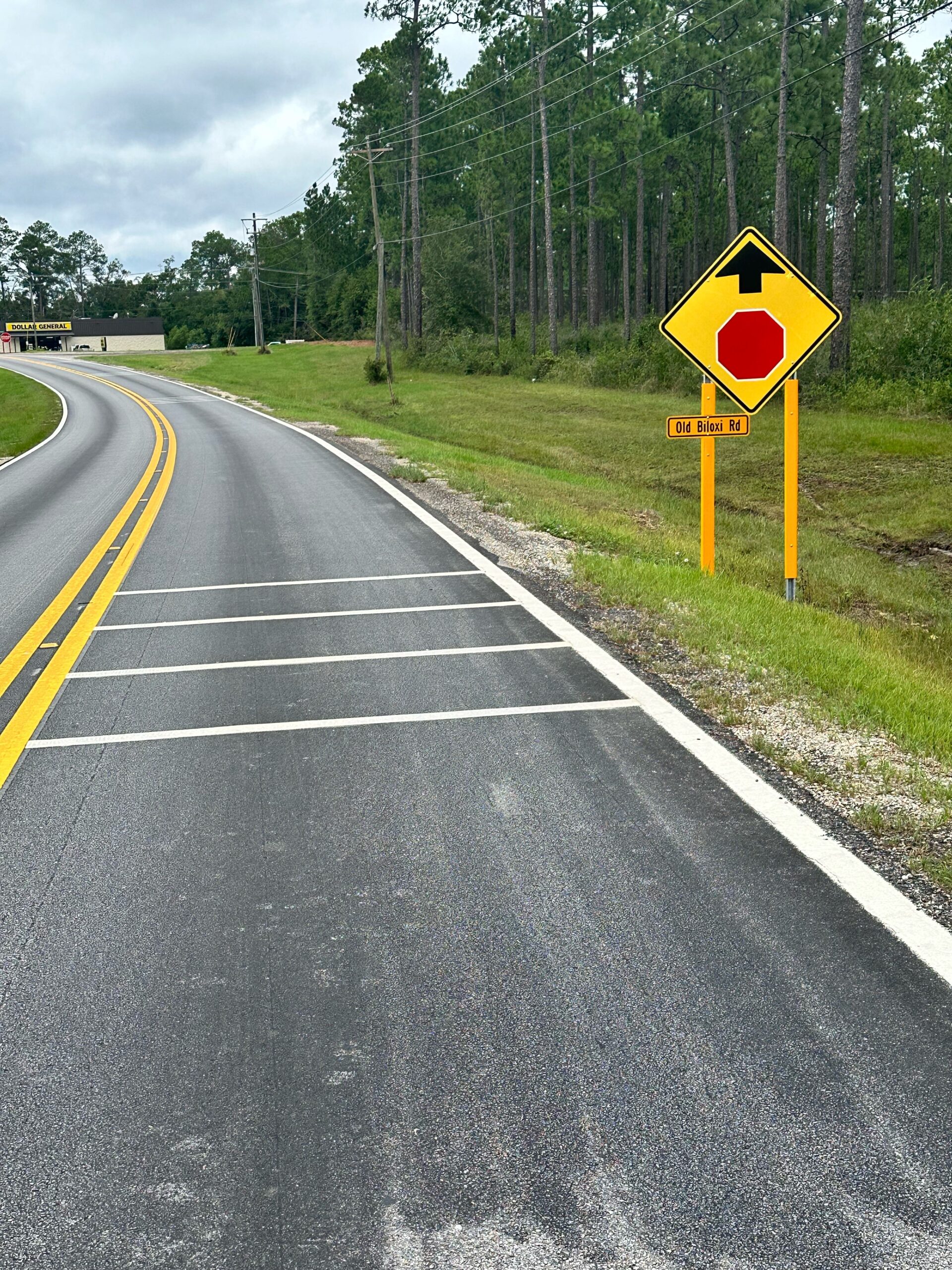
Old Biloxi Rd & Joe Batt Rd